

Maps | 1910 Huebingers Map & Guide
WEST LIBERTY
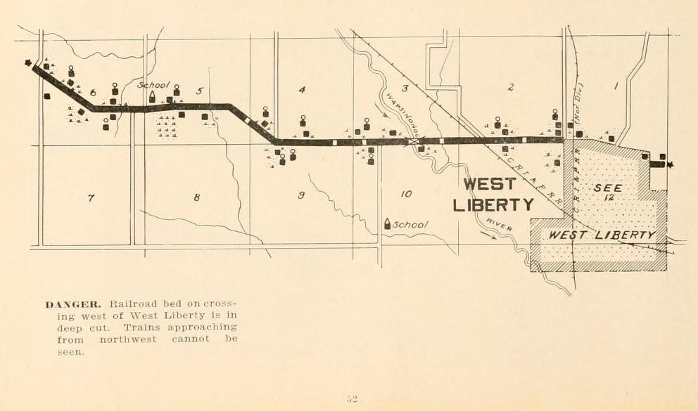
DANGER. Railroad bed on crossing west of West Liberty is in deep cut.
Trains approaching from northwest cannot be seen.
52
![]()
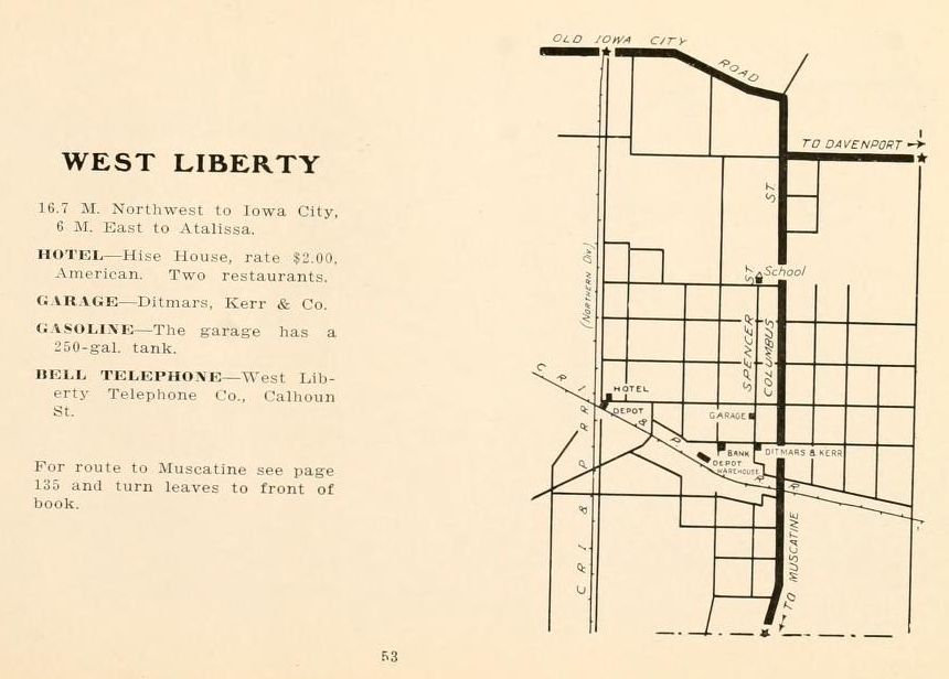
WEST LIBERTY
16.7 M. Northwest to Iowa City, 6 M. East to Atalissa. |
For route to Muscatine see page 135 and turn leaves to front of book.
53
![]()
139