

Decatur County Maps |
|||
1894 Township Maps and Landowners |
|||
2001 Township Mapsclick on maps for larger views |
|||
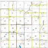 Bloomington |
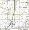 Burrell |
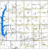 Center |
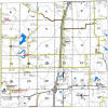 Decatur |
 Eden |
 Fayette |
 Franklin |
 Garden Grove |
 Grand River |
 Hamilton |
 High Point |
 Long Creek |
 Morgan |
 New Buda |
 Richland |
 Woodland |
1875 Decatur County Mapsfrom A. T. Andreas' Illustrated Historical Atlas of the State of IowaAndreas Atlas Co., Lakeside Press, Clark & Adams Streets, Chicago IL. 1875 click on images for larger views |
|||
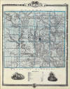 1875 Decatur County Map |
 Reference to the 1875 Map |
||
| NW Corner Richland, Long Creek, Grand River & Decatur Twps |
Transcription of Landowners Richland Long Creek Grand River Decatur |
||
| NE Corner Franklin, Garden Grove, Center & High Point Twps |
Transcription of Landowners Franklin Garden Grove Center High Point |
||
| SW Corner Bloomington, Burrell, Fayette & New Buda Twps |
Transcription of Landowners Bloomington Burrell Fayette New Buda |
||
| SE Corner Eden, Woodland, Hamilton & Morgan Twps |
Transcription of Landowners Eden Woodland Hamilton Morgan |
||
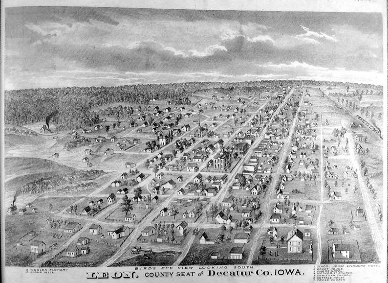 A. T. Andreas' Illustrated Historical Atlas of the State of Iowa, Andreas Atlas Co., Lakeside Press, Chicago, IL |
|||
 |
 |
 |
 |
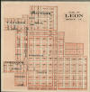
| Leon Plat Map,
1894 A. T. Andreas' Illustrated Historical Atlas of the State of Iowa, Andreas Atlas Co., Lakeside Press, Chicago, IL. |
1895 County Map | 1905 County Map | After 1970 County Map |
County Inventory MapWith Historical & Conservation Points of InterestDeveloped by USDA Corporation with Decatur County Rural Development Committee Design & Drafting by Eldon L. Thomas |
|||
Iowa Border Countiesthat may share family connections |
|||
Township Mapswonder where that township is located in the county? |
|||
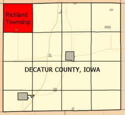 Richland |
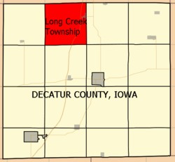 Long Creek |
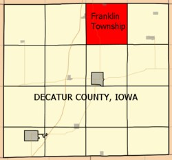 Franklin |
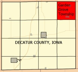 Garden Grove |
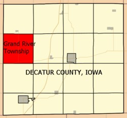 Grand River |
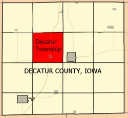 Decatur |
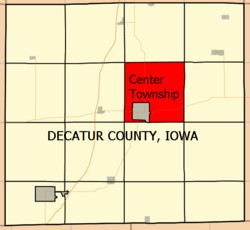 Center |
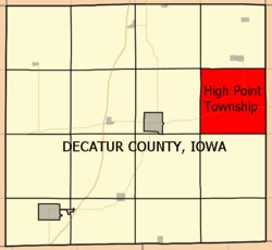 High Point |
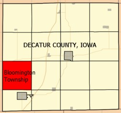 Bloomington |
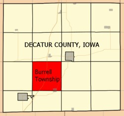 Burrell |
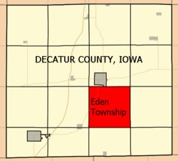 Eden |
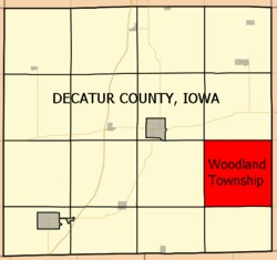 Woodland |
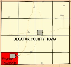 Fayette |
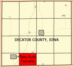 New Buda |
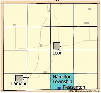 Hamilton |
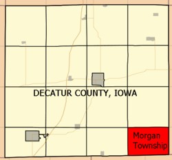 Morgan |
| Decatur County IAGenWeb | |||